Julie Cidell
 Sedimentation of Flows: The Des Plaines-Kankakee Confluence and Spaces of Distribution
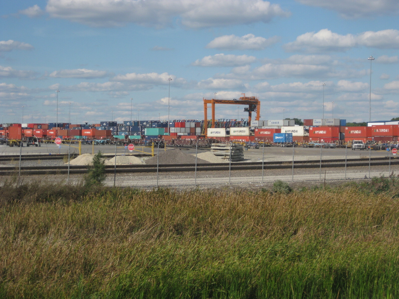
River confluences shape surrounding landscapes through flows of water that pass through them and human flows that traverse them. This historical geography examines the Des Plaines-Kankakee confluence in northeastern Illinois as a local space of distribution with global significance. It is a low-lying, flat area, with shifting river courses and frequent floods but no settlements nearby. Today, it functions as an inland port, built upon an ammunition plant alongside major routes for freight and early human settlement. These layers of flows build upon each other over time, producing a sedimented landscape not unlike the rivers themselves. How can this confluence region and its unique patchwork of land uses help us understand relationships between spaces of distribution and their surroundings?